UN
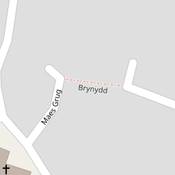
13 Brynydd
£ 104,000
Description
We don't have a Description for this property.
- Bedrooms
- 2
- Bathrooms
- 0


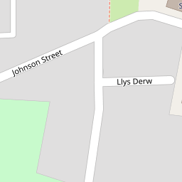


Leaflet © OpenStreetMap contributors
The heatmap indicates the level of crime in the area. The color of the heatmap indicates the crime severity and recency.
Metrics Year-on-Year
- Average area value
- 363,275.00 £Increased by 0.98 %
- Average area rental value
- 922.00 £/moDecreased by 1.28 %
- Est rental Yield
- 3.05 %Decreased by 2.24 %
- Crime Rate
- 12.00 %Unchanged by 0.00 %
from 359,732.00 £
from 934.00 £/mo
from 3.12 %
from 12.00 %
Nearby Schools
| Name | Type | Ofsted | Distance |
|---|---|---|---|
| Ysgol-Y-Grango | Welsh Establishment | 0.61 KM | |
| Ysgol Hooson | Welsh Establishment | 1.01 KM | |
| Ysgol Rhiwabon | Welsh Establishment | 2.89 KM | |
| Ysgol Maesyllan | Welsh Establishment | 3.31 KM | |
| Rhostyllen C.P. School | Welsh Establishment | 3.35 KM |
Images
Nearby Streets
| Name | Average Price | Average Sqft | Distance |
|---|---|---|---|
| Caernarvon Terrace | £ 0 | 0 | 0.00 KM |
| Park Road | £ 219,975 | 0 | 0.00 KM |
| Mount Pleasant | £ 0 | 0 | 0.00 KM |
| Poplar Avenue | £ 85,000 | 0 | 0.00 KM |
| Charles Street | £ 117,500 | 0 | 0.00 KM |
Nearby Transport
| Name | NLC | TLC | Distance |
|---|---|---|---|
| Ruabon | 4477 | RUA | 3.15 KM |
| Wrexham General | 4487 | WRX | 6.64 KM |
| Wrexham Central | 4486 | WXC | 6.69 KM |
| Gwersyllt | 4300 | GWE | 7.40 KM |
| Chirk | 4449 | CRK | 9.20 KM |
Nearby Listings
| Address | Price | Type | Score | Distance |
|---|---|---|---|---|
| Fennant Road, Ponciau, Wrexham | £ 137,000 | BUY | Unknown | 0.10 KM |
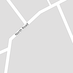
| North Road, Ponciau | £ 135,000 | BUY | 5 / 10 | 0.11 KM |
| Chapel Street, Ponciau, Wrexham | £ 145,000 | BUY | Unknown | 0.14 KM |
| Chapel Street, Ponciau, Wrexham | £ 160,000 | BUY | 5 / 10 | 0.15 KM |
| California Terrace, Fennant Road, Ponciau | £ 139,000 | BUY | 5 / 10 | 0.15 KM |
Nearby Properties
| Address | Price | Distance |
|---|---|---|
| 13 Brynydd | £ 104,000 | 0.00 KM |
| 14 Brynydd | £ 104,500 | 0.02 KM |
| Dolhyfryd | £ 62,000 | 0.10 KM |
| 40 North Road | £ 110,000 | 0.10 KM |
| 51 North Road | £ 137,000 | 0.10 KM |